


Plan Routes
Be prepared for your next hike by drawing a route, checking distances, and sharing your plan with family and friends

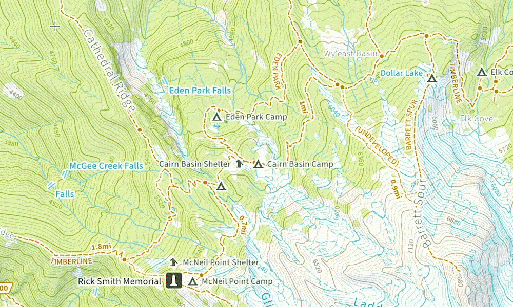
Looking to plan your hike? The web is full of pre-planned hiking guides, but we often find that the most exciting trips are ones planned out from scratch. This guide will teach you how to measure distances, snapped along trails on the Natural Atlas map, and how to save that path for easy following when you’re out in the field. Let’s begin.
Create a Route
- Browse the map and find where you would like to start a route
- Press the measure button

- Tap points along your route – it will automatically snap to the nearest trail
- When you’ve completed your path, tap Save Route
- Enter a name and activity (e.g. hiking) and tap Save
You can also create a route from in the mobile app by pressing the Measure button in the bottom right area of the main map view.
Follow a Planned Route
Within the Natural Atlas app you can easily use a route as an overlay to help you navigate in the field – even if you don’t have cell service.
When you start recording a trip, the app will ask you if you want to enable one of your planned routes (if you have one nearby). This will put the route underneath your recorded path so you can easily see where you are relative to your plan.
You can also enable a planned route overlay at any time by:
- Tap layers button

- Tap Overlays
- Select a planned route
- Close the layers screen

