


About
Natural Atlas is a GPS / Field Recorder app that puts a dynamic field guide of nature and pioneering best-in-class topographic map at your fingertips.
Natural Atlas is the first app of its kind that is both an evolving field guide of nature that helps you learn more about your surroundings, and also a field recorder packed with all the practical tools you need to navigate and chronicle your discoveries. At the foundation of Natural Atlas is a rich, interactive topographic map of nature.
Our goal is to foster the inner naturalist in all of us – while providing tools to navigate safely outside and document memories to cherish later.
Our Story
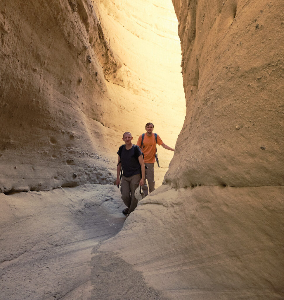
The concept of Natural Atlas was born out of many conversations between Brandon and I when out hiking in the Greater Yellowstone area outside our hometown of Cody, WY. Since early childhood, getting outside was always about getting out, reading and traversing the landscape, and enjoying the pleasant surprises along the way. It feels awesome to come across some animal going about its daily life, some unusual plant, or some strange rock laying on the ground. The more we kept our eyes open, the more we noticed, and the more enjoyable hiking became. As kids, I think we all have this curiosity – and exploring nature felt like a great way of keeping this curiosity alive.
We created Natural Atlas because we wanted to create a place for people to explore nature and capture their memories in a rich, exciting, meaningful way – deepening their knowledge and appreciation of nature in the process. We began by creating the Natural Atlas Topo, which is now the bedrock to the complete Natural Atlas experience.
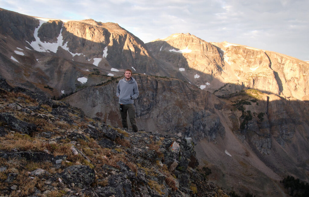
Brian Reavis (Co-Founder)
Team
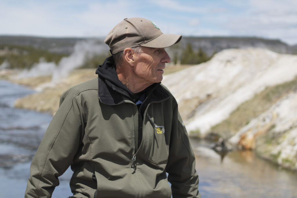
Natural Atlas is a small team led by founders and twin brothers Brian Reavis and Brandon Reavis. Their dad Calvin works on map data, particularly with a historical emphasis.
Map-Making Approach
A good map is core to the outdoor experience: for storytelling, planning, inspiration, and simply having a record of what’s out there. Before Natural Atlas, maps were either too out-of-date, too limited in scope, lacking in overall quality, or often just cumbersome to use. This is why making an original, one-of-a-kind topo map was our top priority when we first started working on Natural Atlas 6 years ago. A good map can keep you from getting lost. A great map can really inspire you.
Our mapmaking goals:
- It should be clean – at the first glance you should be able to find what you’re looking for
- It should be beautiful – it’s hard to be inspired by an ugly map
- It should be accurate – poor data quality makes a map hard to trust
- It should be detailed – each detail can potentially inspire a great experience in nature
- It should be seamless – we wanted a map to seamlessly span the entire lower 48 states, so you don’t have to keep searching for another map when you reach a boundary
To achieve these goals it quickly became apparent that we needed to create a unique map from scratch – manually curating all the data that goes into it. We use data from many sources, as well as add a bunch of unique features that you won’t find elsewhere.
If you notice anything you think we are missing, feel free to let us know! We hope it helps guide and inspire your trips outside.
What Others Are Saying
“I don’t write reviews ever but this is the best app I’ve ever owned and it felt unfair to not give the developers credit, I don’t use it for the typical hike, bike, camping aspects of the app that they portray. If you are a fisherman, get it. I track all of my floats, wades and trips. It shows elevation changes, average speed, miles etc. and you can add notes for each trip, best app I’ve ever owned and I won’t go on a trip even if it’s just to a small creek to wade without it.”
App Review
“These are by far the nicest maps I have used. They look beautiful and provide all the detail that one would want without seeming cluttered.”
App Review
Get In Touch
Looking for support, or just want to say hello?